News
Unpacking Bendigo's Traffic Crunch: How Past Choices Shaped Today's Gridlock
Rising congestion in Bendigo's key corridors reflects a gradual buildup of infrastructure gaps and shifting commuter patterns over decades.
3 min read
News
Rising congestion in Bendigo's key corridors reflects a gradual buildup of infrastructure gaps and shifting commuter patterns over decades.
3 min read
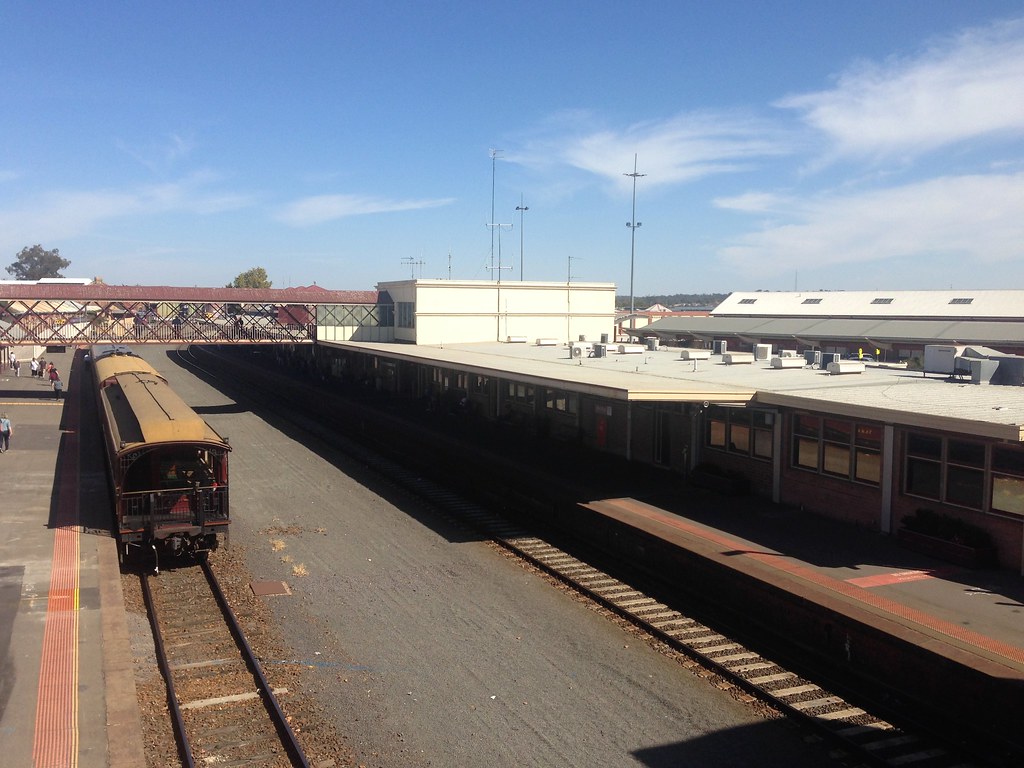
Bendigo's traffic congestion has reached a tipping point, with peak-hour delays now commonly stretching beyond 30 minutes along Wellington Street and through the Golden Square area. These hold-ups have spurred renewed calls for urgent transport planning interventions in the city’s growth corridors.
The issue has gained prominence as Bendigo's population surpassed 120,000 earlier this year, putting sustained pressure on an infrastructure network originally designed for a smaller, less densely populated regional centre. With new housing estates expanding northwest and commercial hubs growing near La Trobe University’s Bendigo campus, traditional traffic routes are becoming increasingly overwhelmed.
Over the past two decades, Bendigo has experienced steady urban growth without parallel expansion in major road capacity or public transit alternatives. The completion of the Bendigo Health capital project in 2024, while a boon for regional health services, brought an influx of staff and visitors to the Lake Weeroona precinct, further complicating traffic flow around Forest and Hargreaves streets.
Transport authorities have struggled to keep pace. A 2018 regional transport assessment flagged Wellington Street and Bridge Street as hotspots for future congestion but recommended only incremental infrastructure upgrades at that time. Local cycling advocate group Ride Bendigo has also highlighted the lack of continuous bike paths along these corridors, limiting sustainable commuter options.
Adding to the challenge, the Murray River's environmental policies restrict significant road expansions westward, funneling traffic instead onto existing urban arteries.
Data from VicRoads reveals that average morning peak traffic speeds on Kangaroo Flat’s McIvor Highway have dropped from 60 km/h in 2010 to just 35 km/h in 2026. Traffic counts indicate a 20 percent growth in vehicle volumes on Bendigo’s arterial roads since 2016, outpacing public transport patronage by nearly threefold, according to the 2025 Regional Public Transport Survey.
The cost of traffic delays is also mounting. A City of Greater Bendigo council report estimates commuter productivity losses due to congestion at over $5 million annually. Rising fuel consumption and emissions add another layer of community and environmental expense.
While the Victorian government has earmarked $40 million for regional transport upgrades across Central Victoria, the timeline for Bendigo-specific projects like the proposed northern ring road extension remains uncertain.
Residents relying on services such as the 511 bus route and drivers navigating Bendigo’s CBD are encouraged to plan travel outside peak periods where possible. City planners are exploring expanded Park and Ride facilities near Eaglehawk and better integration with V/Line rail schedules to ease pressure on road infrastructure.
With Bendigo's growth trajectory showing no signs of slowing, immediate strategic investments and community engagement will be crucial in steering the city away from entrenched traffic snarls and towards a more efficient transport future.
News

News
News
News

News
News
About this articleBeta
Published by The Daily Bendigo
Spread the word
Daily brief
Free, in your inbox before 7am. Weekdays.
The Daily Network — local news across Australia