lifestyle
Getting Around Bendigo 2026: Buses, Roads, Cycling and V/Line Trains
How to get around Bendigo: the V/Line train service, local buses, cycling infrastructure, driving and parking in 2026.
How we reported this
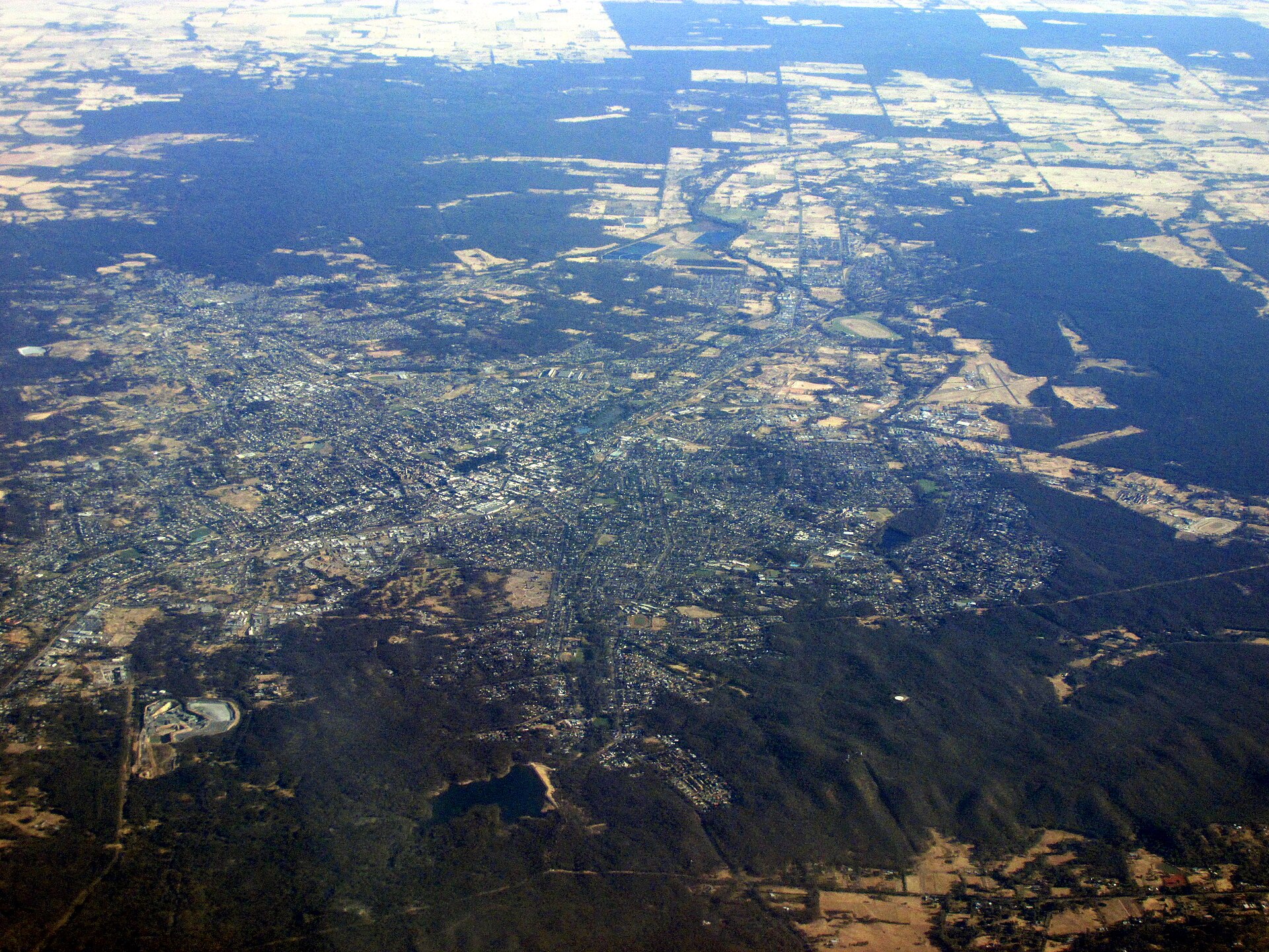
Trains to Melbourne
V/Line runs frequent services from Bendigo to Melbourne's Southern Cross Station, with the journey taking approximately 2 hours. The Bendigo Line is one of Victoria's busiest regional rail routes. Local stations at Kangaroo Flat and Epsom serve the southern suburbs.
The line also connects Bendigo to Castlemaine, Kyneton, and Woodend heading south, and to Eaglehawk, Rochester, and Echuca heading north.
Local Buses
CDC Bendigo runs the local bus network covering the CBD, Strathdale, Kangaroo Flat, Long Gully, Flora Hill, and Eaglehawk. The myki card is accepted on all services. The free Flora Hill Bus Route 72 serves La Trobe University students. Bus frequency is moderate, so checking the timetable before travel is advised.
Getting Around by Car
The Calder Highway (A79) connects Bendigo to Melbourne in approximately 2 hours and continues north toward Mildura. The Midland Highway connects Bendigo to Ballarat (about 1 hour).
Parking in central Bendigo is generally easy and affordable. The Hargreaves Mall area has free and paid parking nearby. Most shopping centres offer free car parks.
Cycling
Bendigo has a developing cycling network. The Bendigo Creek Trail is a pleasant shared path running through the city. The hilly terrain in some areas of Bendigo makes cycling more challenging than in some other regional cities, but the flat CBD area and surrounding river trails are accessible.