Best parks and outdoor spaces in Bendigo
Bendigo Creek Trail to Whipstick — the goldfields city's green network.
2 min read
Bendigo Creek Trail to Whipstick — the goldfields city's green network.
2 min read

Bendigo's outdoor spaces reflect the goldfields landscape — the Box-Ironbark forests that cover the hills around the city, the spring wildflower country, and the creek corridors that provide wildlife movement through the urban landscape.
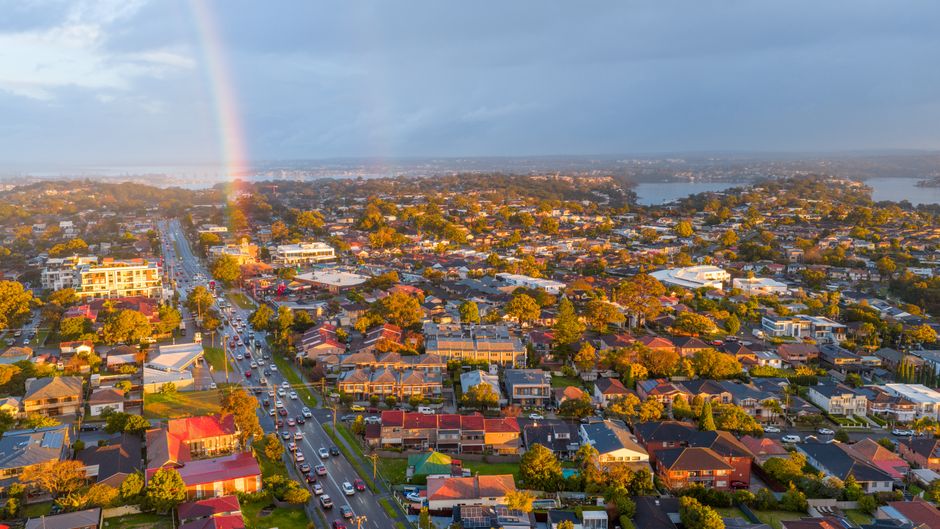
Bendigo Creek Trail — the 19-kilometre linear park along Bendigo Creek from Strathfieldsaye to Kangaroo Flat creates the greenway through the city's residential areas that connects the outer suburbs to the CBD via walking and cycling paths. The creek's restoration — removing the concrete channel that the 1970s flood mitigation created — has returned the natural character and the birdlife.
Bendigo Whipstick State Park — the Box-Ironbark forest north of the city provides the native orchid populations (more than 40 species), the gold rush heritage sites, and the yellow-footed antechinus and regent honeyeater habitat that make the Whipstick significant ecologically as well as historically.
Rosalind Park — the heritage park adjacent to the Bendigo Art Gallery and the GPO provides the fern gully walk, the Cascades, and the Chinese Pagoda that make it the most characterful small urban park in regional Victoria. The Charing Cross adjacent access makes it a daily destination for CBD workers.
Mount Macedon — 70 kilometres south of Bendigo, Mount Macedon's Camels Hump summit (1,010 metres) and the memorial cross are accessible by a 4-kilometre walking track from the summit car park, delivering the views across Port Phillip Bay, the You Yangs, and on the clearest days, the CBD towers of Melbourne.
This article was compiled by AI from the sources linked above and screened before publishing. See our editorial standards.
Spread the word
About this article
Published by The Daily Bendigo
Daily brief
Free, in your inbox before 7am. Weekdays.